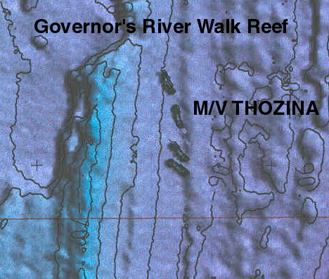
Sinking of the M.V. Thozina, 180 ft long freighter in 90 feet of water. 15-Dec-2002
This is a Laser picture taken by a plane at 1000 ft of the four 180 foot
ships near north double ledge. It shows there shape and the way they
lay........The bottom is south and the top is north and if you look to the
left of the ships you can see North double ledge and the way is curves off
shore, where if there is a strong current can blow you off the reef and in
to the sand...
Last Updated: 08-Jan-2003
The Irishman Software's, West Melbourne, Florida

